Frigid Air Settling in Dakotas, Moving Eastward
Another band of arctic air began creeping into the northern U.S. on Monday, bringing a wave of frigid temperatures that could linger for most of the week across the upper Midwest and New England.
Along the leading edge of the invading polar blast, accumulating snow will spread from the Midwest to the East Coast on Tuesday.
The snow will become heavier as it streaks across the mid-Atlantic on Tuesday, then makes a northeastward turn toward southern New England late in the day and evening.
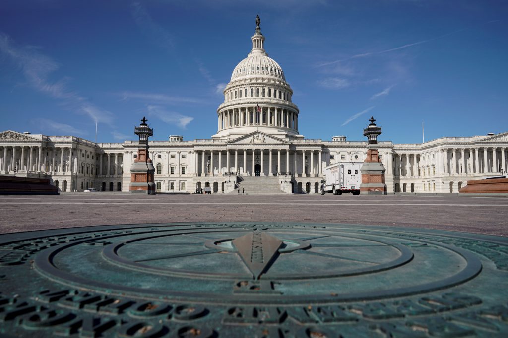
For part of the mid-Atlantic such as the District of Columbia and a large part of Virginia, Delaware, Maryland, New Jersey, and southeastern New York state including Long Island, this could unfold to be the biggest snowfall of the season so far.
The bitter blast will lead to a swath of subzero temperatures, with highs in the single digits and wind chills of minus 20 or colder, said Paul Collar, a meteorologist with the National Weather Service.
“It’s not to the extent of the last outbreak but it’s still bitterly cold,” he said, referring to the recent polar vortex that sent temperatures plunging well below zero across much of the country and was blamed for at least a dozen deaths.
Some areas of across the U.S.-Canada border could see nighttime lows in the negative double digits in the next few days, he said.
Portions of Minnesota, Vermont, New Hampshire and Maine were under wind chill warnings, meaning wind chills could be 34 degrees below zero or colder.
“With these temperatures you’re going to have issues with exposed skin and frostbite, but not to the degree of severity of the last outbreak,” he said, describing it as “a normal cold event you’d see in a typical winter.”
This article appeared in print on page 3 of edition of Hamodia.
To Read The Full Story
Are you already a subscriber?
Click "Sign In" to log in!

Become a Web Subscriber
Click “Subscribe” below to begin the process of becoming a new subscriber.

Become a Print + Web Subscriber
Click “Subscribe” below to begin the process of becoming a new subscriber.

Renew Print + Web Subscription
Click “Renew Subscription” below to begin the process of renewing your subscription.


